Editor's review
This software helps in digital terrain modeling by triangulated irregular network(TIN) and editing of the same to create the model.
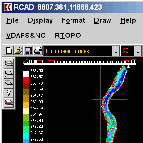
A triangulated irregular network or TIN is a representation of data, or data structure, used in GIS. These networks are used to represent digital terrain models that show the topography of the ground or the sea bottom. It is a vector based representation. Rather than using a raster DTM, the TIN helps reduces the amount of data required for creating the elevation models. This program is able to use the TIN data in 3DPOLY, SPLINE or BLOCK entities. The program also helps in editing (modify, delete or add) of 3D points, and for triangulation. It also helps create isolines, color-filled contour maps, cross sections, longitudinal profile, 2D entities (Line or PLine) projection over a DTM, Conversion of TIN data also is possible you a regular grid of points.
You can convert existing isolines into points and then convert to TIN. The tool contains a library of BLOCKS as also code. Both of these are modifiable. Other features are available that help building the elevation model. The Program has RCAD graphic core and is distributed along with the program. The graphic core gives you the capability to manipulate the 3D model you created. The operations include OpenGL real-time orbit, pan, zoom, shading, lighting and motion path animation. If you are into creating DEMs, you ought to give this tool a try. The price is cheap enough, the interface is simple enough and it should take very little time to start operating, if you know the field of application already.


User comments